
The former Ranger Mine, in the Northern Territory has closed and is currently delivering rehabilitation activities on the Ranger Project Area. Part of the task involves re-creating a landscape that can be integrated back into the local environment. However, reconstructing landscapes can be tricky and when you add in the extreme wet and dry environments of the Top End, keeping the sediment and soil in place requires a lot of experience.
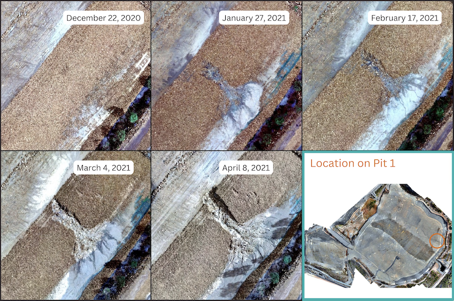
2rog were engaged to develop and implement an approach to monitor sediment movement across recreated landscapes. We worked with ERA to assess the suitability of Un-manned Aerial Vehicle (UAV) imagery to keep an eye on the landform month to month and guide any field assessments or management required.
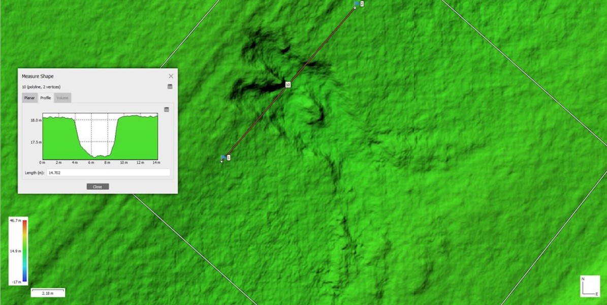
Our spatial team used specialised software to process the UAV imagery to create high definition ortho-mosaic images for each capture time. Our image analysis and hydrology experts then analysed the images in sequence to detect change and highlight any potentially problematic locations.
We reported our findings back to the on-site team who could then target the areas of concern, making landform and structure adjustments to minimise or prevent ongoing erosion. The combination of technology and methods we developed proved to be a valuable monitoring tool for this rehabilitation project.
Areas of concern could be monitored across the entire target site and management actions directed in a timely manner.

