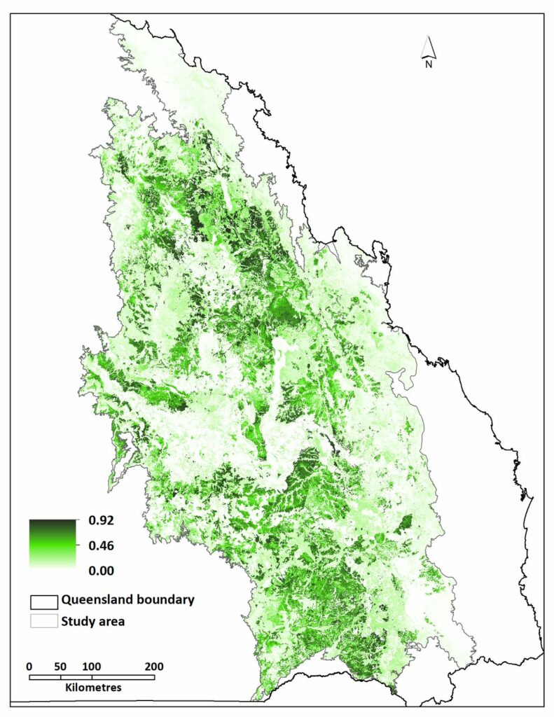
Project planning and impact assessment is often constrained by a lack of understanding of biodiversity values outside the immediate project area. 2rog has been working with a number of our resource sectors clients in central Queensland to address this challenge by building scientifically robust habitat distribution models for threatened species and ecosystems. Our clients are using these models to do things like: understand where there are biodiversity hotspots on their tenements and planning to avoid development in these locations; map connectivity between onsite biodiversity and the wider region and implementing measures to maintain this; understand the regional context of an individual project’s impacts; look for offset sites. 2rog has just started extending the habitat models to map ‘future habitat’ under a range of climate scenarios.
