Traditional Paakantyi Language of the Kurnu-Baakandji nation used in this article. (L. A. Hercus – Paakantyi Dictionary).
The Commonwealth Environmental Water Holder’s (CEWH) Science Program funds the Flow Monitoring, Evaluation and Research (Flow–MER).

The composition of inland floodplain vegetation communities, such as those on the Western Floodplain of the Warrego River, fluctuates as the floodplain alternates between wet and dry periods. Water loving species dominate wet periods, but as the floodplain dries these species die off, creating space for terrestrial species to move in. The vegetation communities of the Western Floodplain are dominated by stands of kumparla (coolabah; Eucalyptus coolabah) and kurkuru (black box; Eucalyptus largiflorens), wirnta (lignum; Duma florulenta) and a range of chenopod and other herbaceous species. All are well adapted to survive both long dry periods and prolonged inundation.
Inundation patterns on the Western Floodplain are strongly influenced by long-term water management structures in Toorale National Park.
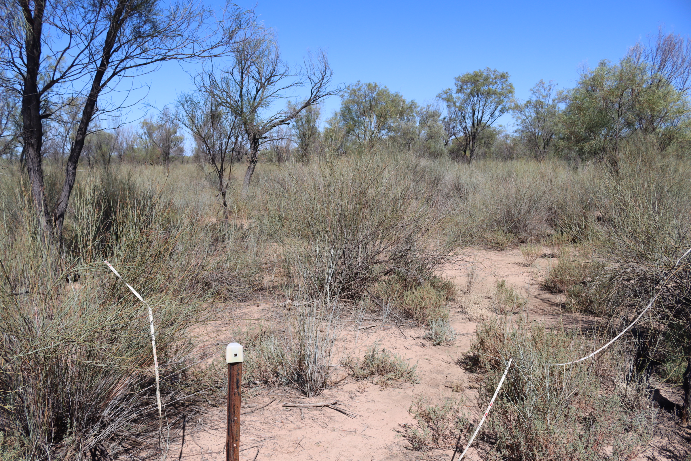
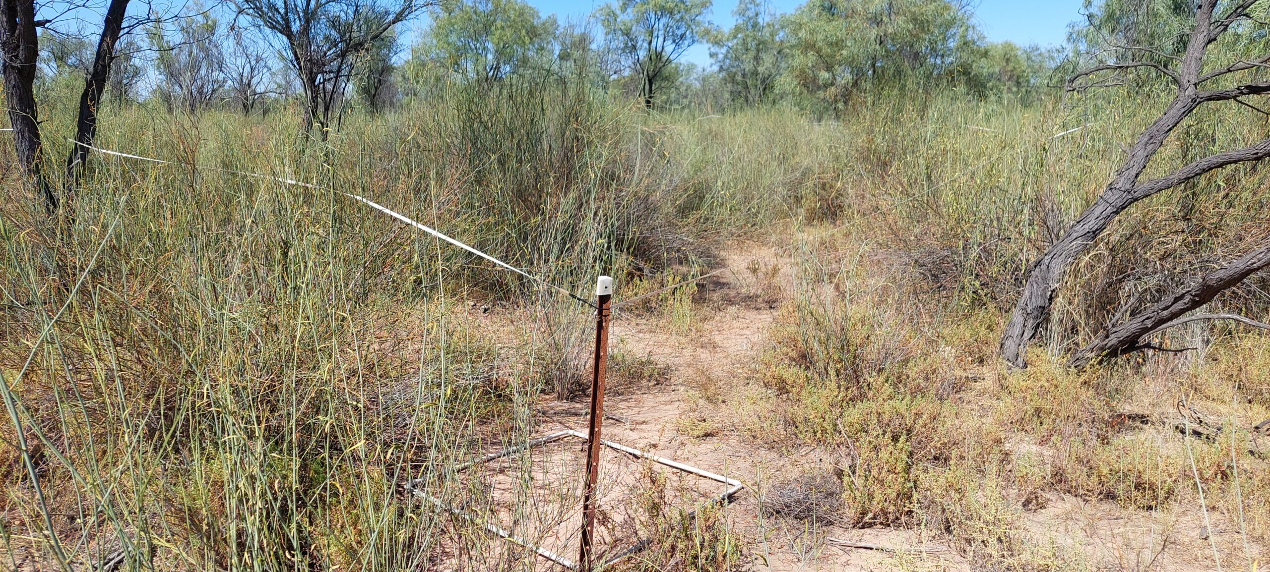
Monitoring of the Western Floodplain over the last eight years of the Long-term Monitoring and Intervention and Flow-MER programs has shown clear links between inundation events and the condition of vegetation communities. Monitoring in the spring of 2016 found that maximum species richness and cover had followed widespread floodplain inundation. Inundation persisted until spring 2017. Then, two years of severe drought ensued, leading to significant declines in richness and percentage cover of vegetation communities (Figure 1).

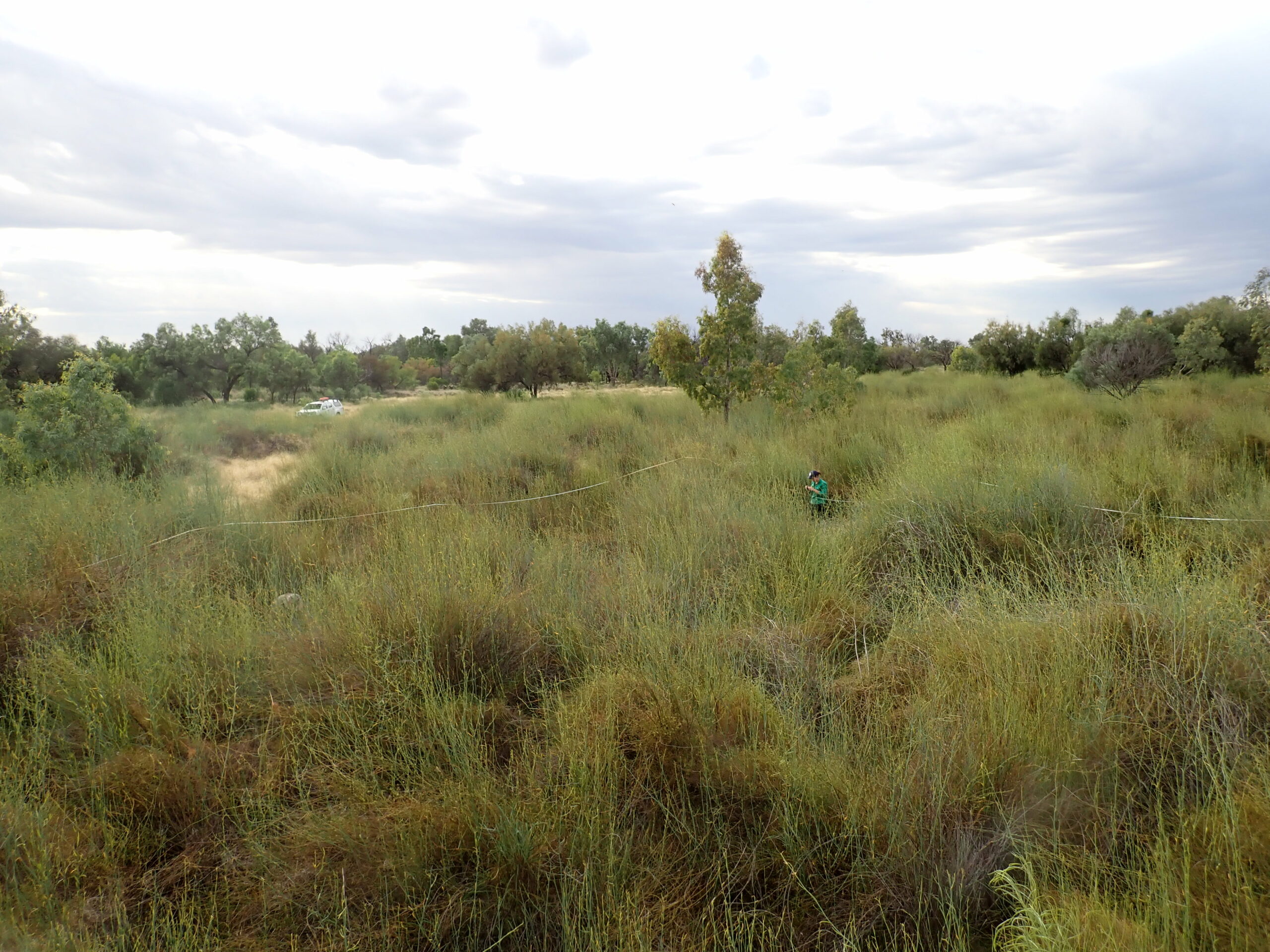
Partial floodplain inundation occurred again 2019 and the Western Floodplain entered another wet period after years of drought (Figure 2). Extensive floodplain inundation during the 2020-21 water year and partial inundation during the 2021-22 water year prolonged the wet period across three years and triggered a vegetation growth response.
These successive widespread inundation events over the past three years on the Western Floodplain have resulted in four vegetation communities remaining in their wet phase (Figure 3). With conditions drying in 2022-23, the floodplain is likely to transition back into a dry phase (Figure 4).


Lignum is one species whose growth and seedling survival is strongly determined by hydrological regimes. In the 2021-22 water year there was a lignum recruitment event that was supported by water for the environment from summer through to autumn of 2022 (Figure 5). Of the water that went down the system, a large portion of 15% was Commonwealth water for the environment. These additional, controlled flows have assisted in keeping the Western Floodplains vegetation
communities in relatively good condition.
By monitoring the Western Floodplains, we are able to optimise an inundation regime to support flood-dependent mid and understorey vegetation, including key indicator species such as lignum. Commonwealth water for the environment is essential in achieving an optimal regime by allowing targeted releases to maintain inundation duration and water levels.

Managing water for the environment is a collective and collaborative effort, working in partnership with communities, private landholders, scientists and government agencies – these contributions are gratefully acknowledged.
We acknowledge the Traditional Owners of the land on which we live, work and play. We also pay our respects to Elders past, present and emerging.


