Traditional Gamilaaraay Language of the Gomeroi nation used in this article (H. White & B. Duncan – Speaking Our Way, M. Mckemey).
The Commonwealth Environmental Water Holder’s (CEWH) Science Program funds the Flow Monitoring, Evaluation and Research (Flow–MER).

Hydrology is the study of when, where and how galie (water) is delivered into a bagaay (river) channel, floodplain or warrambool (wetland). The Long Term Intervention Monitoring and Flow-MER projects have tracked natural flows and releases of Commonwealth water for the environment into the Gwydir River since July 2014 (Figure 1). This delivery of galie directly impacts galie quality and through this defines the living conditions for aquatic species, including gunambaay (waterbirds) and
vegetation.
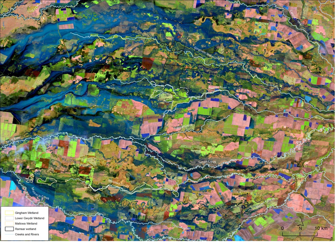
The largest daily flow of the last 51 years at the Pallamallawa on the Gwydir River was recorded on 23 October 2022 when 159,823 ML/d flowed past the gauge (Figure 1). This flow contributed to widespread inundation which inundated an estimated area of 266,070 hectares on 29 October (Figure 2).

Prior rainfall had been substantial. October rainfall recorded at Moree airport was four times greater than the long-term average (Figure 3). After this, flows declined and connection through the lower reaches of the Gwydir system was maintained via
Commonwealth water for the environment releases from Copeton Dam between December 2022 and March 2023. This galie supported largescale waterbird breeding occurring in the wetlands.

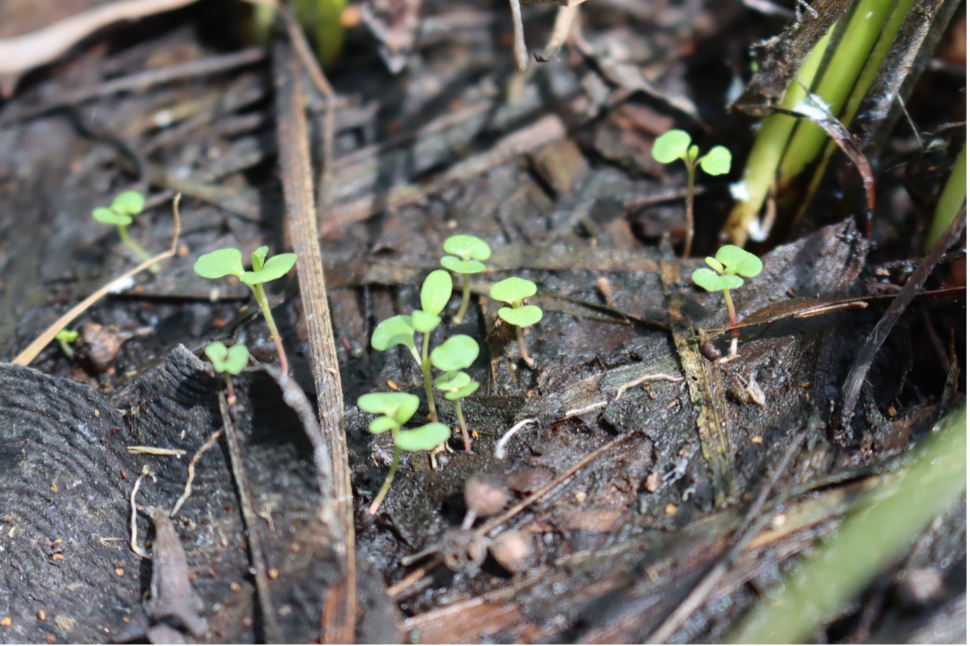
Warrambool fauna is reliant upon the vegetation in and surrounding the Gwydir Warrambools for foraging and sheltering habitat. Much of the vegetation is composed of amphibious non-woody communities or flood-dependent shrublands and woodlands. Inundation duration and frequency are key drivers of the composition and condition of vegetation in the warrambools. The frequent wuguu (flood) events of the past three years and the subsequent inundation of the wetlands has had a positive influence on vegetation communities. Notably, water couch (Paspalum distichum) and gulabaa (coolibah; Eucalyptus coolabah) cover has substantially increased during this period (Figure 4).
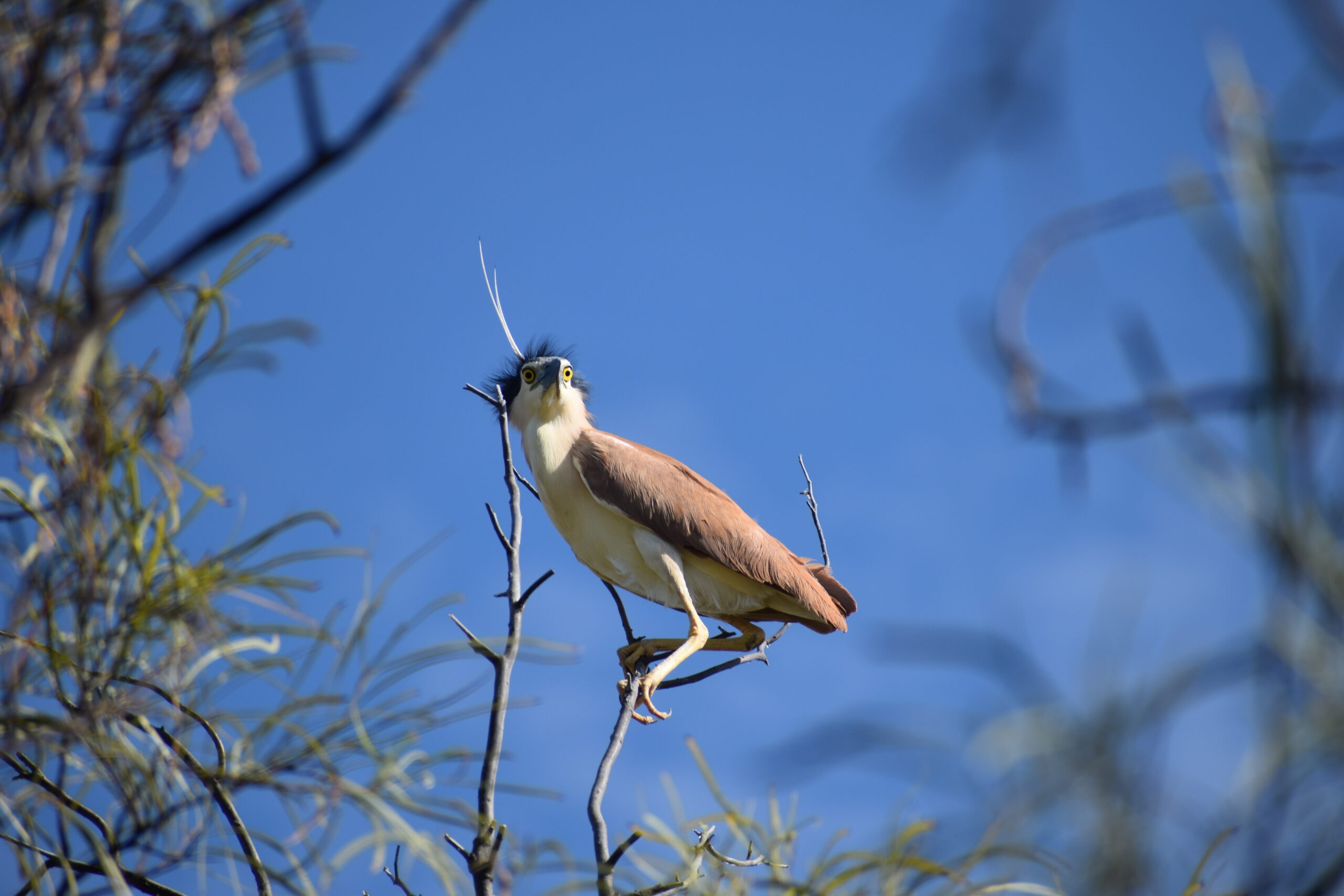
The Gwydir Warrambools are among the most important breeding sites in Australia for colonially-nesting waterbirds. Thousands of yuwagayrr (straw-necked ibis; Threskiornis spinicollis), intermediate egrets (Ardea intermedia) and dhaarrin (nankeen night-herons; Nycticorax caledonicus) can congregate to breed following large wuguu events (Figure 5). The high flows from 2021 onwards initiated the most significant breeding events for the last decade. During the summer months of 2021-2022, 45,000 nests were occupied. Over January to March 2023, it is estimated that 55,000 nests were occupied.


Managing water for the environment is a collective and collaborative effort, working in partnership with communities, private landholders, scientists and government agencies – these contributions are gratefully acknowledged.
We acknowledge the Traditional Owners of the land on which we live, work and play. We also pay our respects to Elders past, present and emerging.

