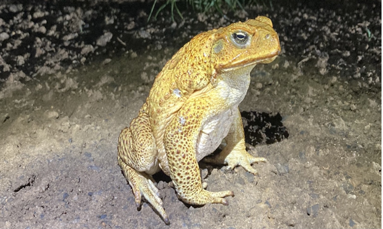

We built distribution, habitat and potential movement pathway models for cane toad on the North Coast of NSW. We also developed a native species habitat hotspot map and associated native species risk datasets and current cane toad records compiled from 2rog field records, ALA, BioNet, DPI Biomap, Feralscan, FrogID, Landcare and NSW National Parks PWIS data. We used these models and maps to produce an interactive platform for our client, North Coast Local Land Services, and stakeholders to prioritise and target cane toad control actions into the future.

